Vertical Photogrammetry of a windmill
Conducted aerial photography of a windmill in order to create a 3D point cloud and subsequent 3D .dwg file for analysis. With this method, one can easily create 3D models of physical assets for further analysis and measurement.
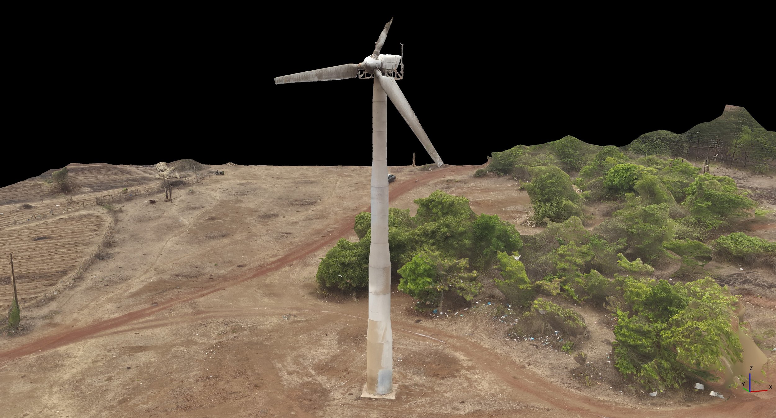
3D model of the windmill created from hundreds of aerial photographs
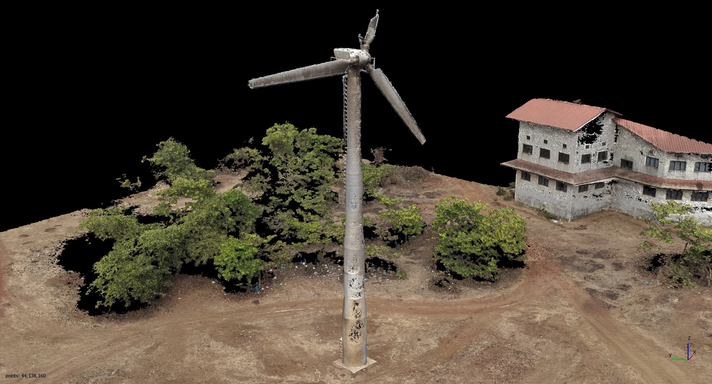
Point cloud view of the windmill
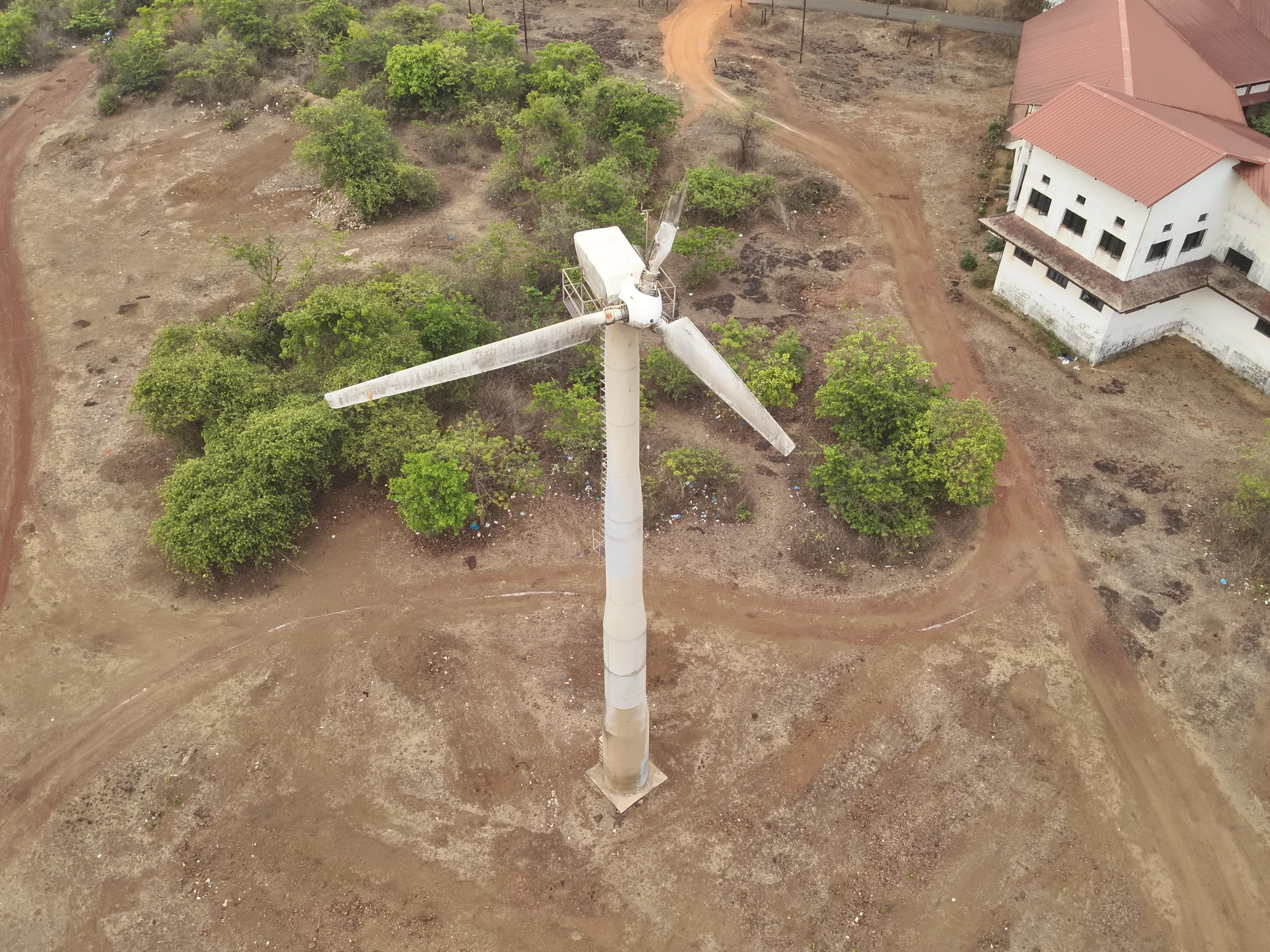
Real time view of the windmill